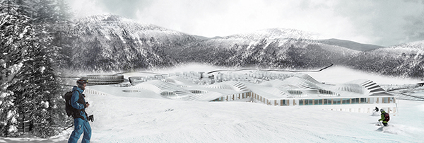
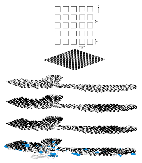
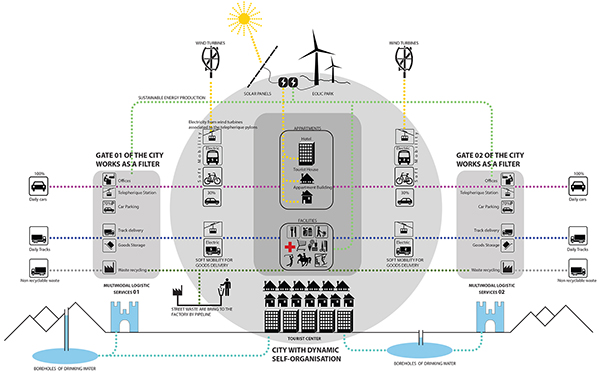
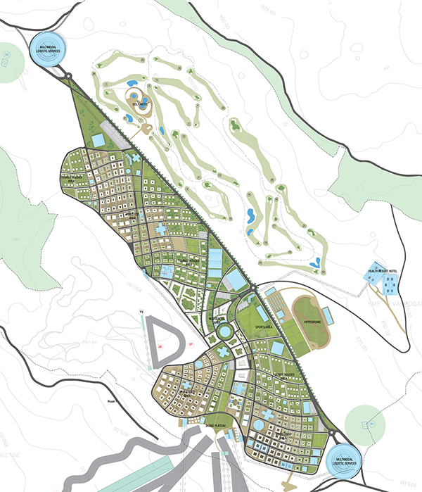
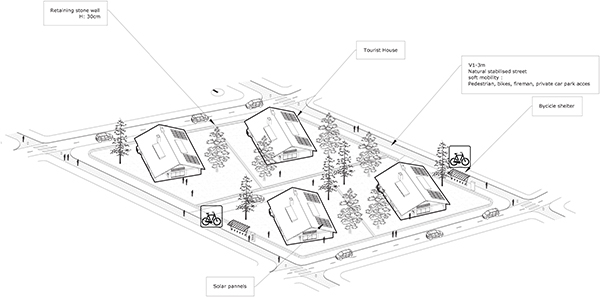
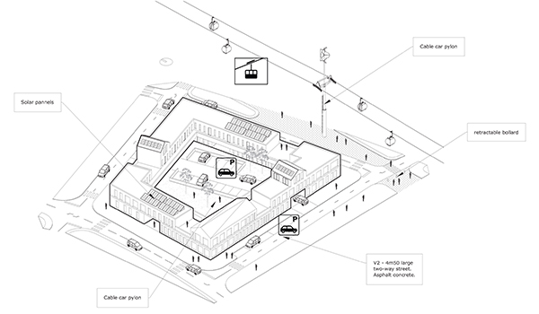
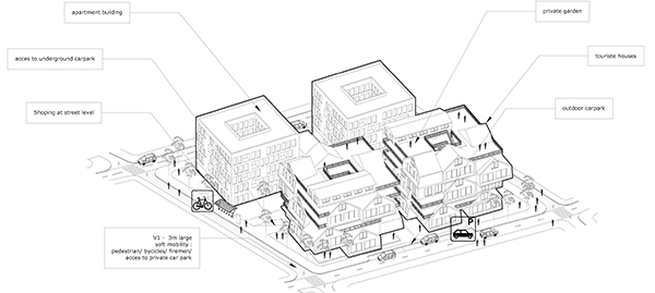
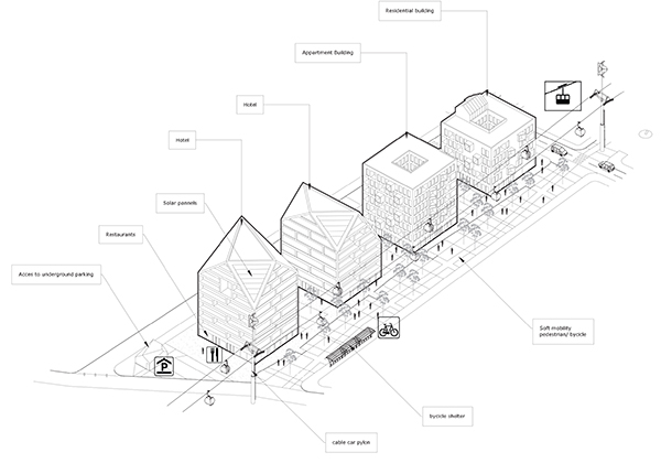
The bias of SO/AP agency was to design an urban pattern generated by tools for parametric programming. The urban grid, the study of heights and typology of housing are the optimized results from simulations between a 3D parametric design software, and software for environmental analysis.
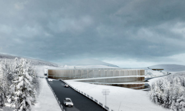
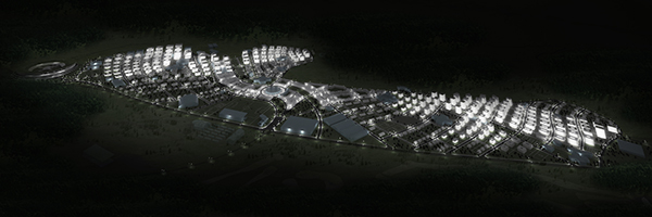
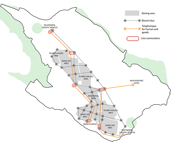
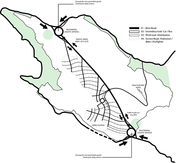
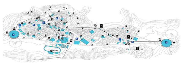
All data as solar radiation, natural lighting condition, thermal performance and water consumption have been integrated to the urban design from the beginning. In order to benefit of the ski lift both in summer and winter, the city is implanted at the foot of the skiing plateau and extends westward into the hillside in order to preserve as much plain in its natural states as possible. As this plain is serviced at is two end points, the projects also plan to build two gateway permitting simultaneous the access and the storage of the goods without having to access to the city.
Between these two extremities three poles can be distinguish, the first one is at the bottom of the slopes and is oriented in the winter sports, at the other end toward the plain the city is focused on the summer recreation. These two poles are connected through a third one which is more access on the residential and sports area.

