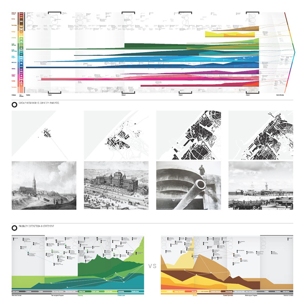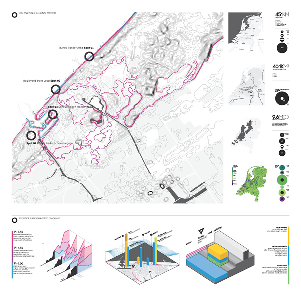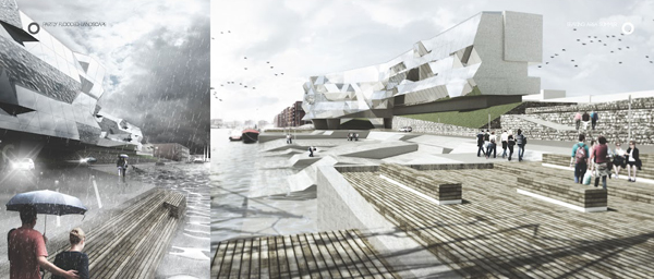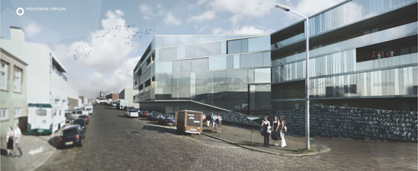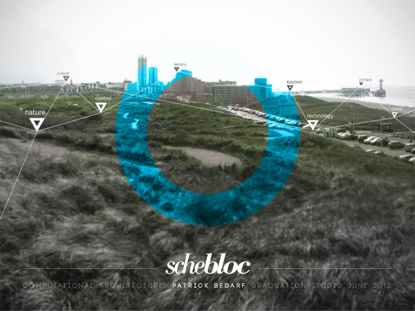
Schebloc by Rotterdamn-based A-ngine aims to utilize digital mapping of a tidal area and of climate conditions at large to inform the design of a mixed-use housing development in Scheveningen, Netherlands. During the design process, contextual site properties were measured, analyzed, and computationally articulated, generating the building’s structure, its facade geometries, and informing the material composition of the structure’s final form. Using a ‘cross referencing probe method,’ students took detailed notation of the area’s rising and falling tides, detailing these features in a series of colorful maps. To this end, localized measured readings informed the design’s physical manifestations across all levels of Schebloc, arriving at a building that responds to its site not simply in design approach, but in numerical terms, as well.
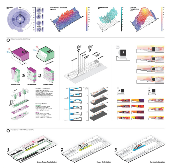
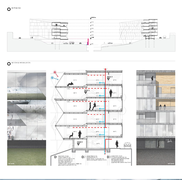
The data gathered from the site was used to guide design towards certain pragmatic ends, namely the qualitative refinement of public space, maximization of natural daylight, and a thoughtful array of positive and negative pressure zones to accommodate natural ventilation. Tidal dynamics were used as inspiration for the treatment of the landscape, aiming to both physically and metaphorically symbolize the surrounding inter-coastal landscape. Using stated preferences for natural lighting and thermal comfort, the designers were able to set a rigorous set of form-giving rules, proscribing geometries for the facades, their ‘tilt angles,’ and the offset present throughout the building’s floor slabs, thereby arriving at a building guided by detailed site measurements and refined by stated design sensibilities.